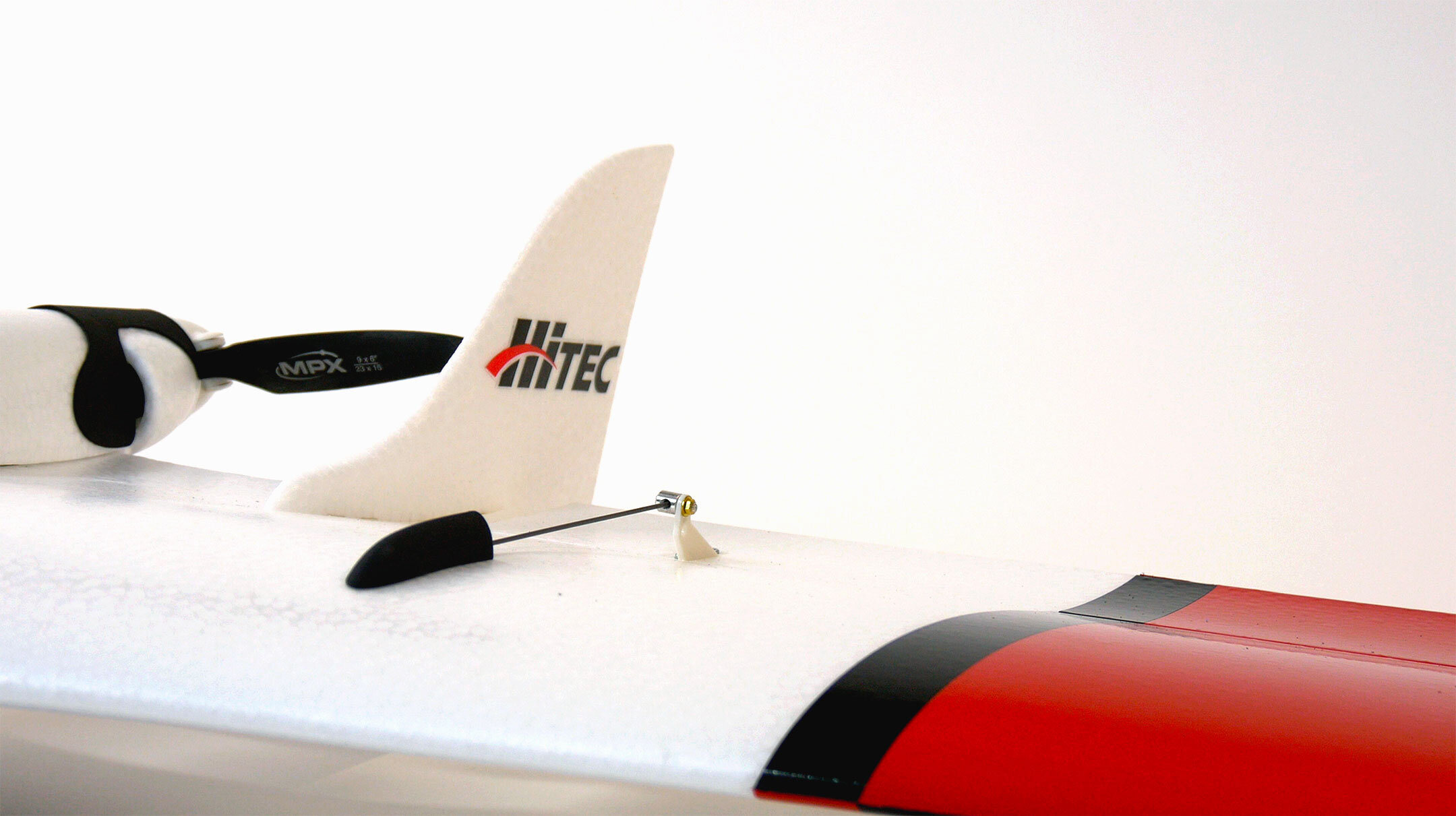
Xeno FX Fixed Wing
Products | Xeno FX


Description:
Who is the Xeno FX for?
The typical Xeno FX customer needs to cover large areas where multirotors are not as efficient as a fixed-wing platform. In such applications, a precision fixed-wing mapping drone capable of detailed survey work is the best fit for commercial customers looking for efficient data acquisition over large areas. Examples include farmers, large construction sites, and public utilities.
What does the Xeno FX include?
The Xeno FX comes with everything needed to get the job done right the first time. Some features include: Full autonomous flight, radio telemetry, Smart Transmitter, batteries, charger, carrying case, and tablet. All camera sensors are interchangeable, allowing our customers to exchange multiple sensors within a single airframe, as dictated by individual mission requirements.
Where would someone use the Xeno FX?
The Xeno FX is designed for survey operations in agriculture, commercial mapping, and other large area applications where a multirotor isn’t an efficient platform.
When should someone use the Xeno FX?
The Xeno FX can be used anytime, dawn to dusk, 365 days a year, weather permitting. For any commercial customer with large areas with little to no obstructions, the XenoFX is a perfect solution.
Why is the Xeno FX better than its competitors?
The Xeno FX is a Made- in-America drone that can provide higher quality data at a fraction of the cost of its closest competitor. Its “Safe Launch” feature also provides a working environment emphasizing safety to the operator and aircraft.
How does the Xeno FX work?
To begin a mission, you first remove the aircraft from its carrying case, insert a battery and turn it on. Next, program a mission profile using Mission Control on the included tablet, upload that profile to the aircraft, and launch. The Xeno FX will complete the mission and land at the designated landing area with little to no pilot input. If input is required, the operator can adjust the Xeno FX in flight using the tablet or suppled Smart Transmitter.
HCS Xeno FX
Overview
Brand: Hitec Commercial Solutions
Pricing: Inquire
Demo: Inquire for on-site demonstration pricing
Specifications / Features
Dimensions: 49-inch wingspan (1245mm)
Weight with Standard Camera: Approx. 2.4 lbs (1.1 kg)
Cruise Airspeed: 27-45 MPH
Flight Time: 60 Minutes
Max. Survey Range: Up to 675 Acres per Flight (2.73 km2) @ 400’ AGL
Materials: Elapor Foam Construction / Carbon Fiber Tubing / Durable Plastic
Product Features & Functions:
Fully Autonomous Flight – Easily program your flight plan before launch to ensure through coverage of target region.
“Safe Launch” Protective Feature – Propeller starts spinning after airframe has been safely hand launched.
Modular Payload System – The quick-change capability allows user to reconfigure data acquisition hardware for multiple missions.
Collapsible Wing / Easy Transport – Folding wings allow compact storage and effortless transportation with supplied case.
Frequently Asked Questions
What is the average flight time?
Maximum flight time is 60 minutes
What battery does it use?
11.1v 3200mAh Lithium-Ion
How high can it go?
400 feet AGL, as set by FAA regulation
What is the heaviest payload/camera?
8 oz (225 g)
What are the available payloads?
Survey3W (RGB or OCN), Survey3N (RGB or OCN), Sentera Double 4K, Kernel
Do I need a license to fly this?
According to US FAA regulations, business owners are required to register their drones with the FAA in order to fly for commercial use and profit, and pilots must be FAA certified, with a current Part 107 license.
To learn more about exam preparation, visit our partners Action Drone and Altitude University for their Training Offer: actiondroneusa.com/training
